|
|
|
The Lake District Mountains |
||
|
|
||
| Previous Walk | ||
|
09 07 2018 - Branstree and Selside Pike with Richard |
||
|
|
||
|
It was another fine and sunny day as we drove to Mardale Head for the start of this walk. The reservoir was very low after the hot start to summer and lots of people were wandering around the usually submerged walls of the old village. We set off towards Gatescarth Pass and clambered over Branstree to Selside Pike via High Howse before returning to Mardale Head via the Corpse Road. The views on the final descent were stunning. I was a little surprised to see from the photographs how extensive the cloud cover was. |
||
|
|
A lack of water at Mardale Head with Rough Crag in the background
|
|
Looking back to Mardale Head as we start the climb towards Gatescarth Pass
|
|
Mardale Ill Bell and High Street
|
|
Approaching Gatescarth Pass
|
|
Looking back to Harter Fell from the path up Branstree
|
|
The view towards Longsleddale with Tarn Crag to the left and Goats Crag to the right
|
|
The fence meets the wall near the summit
|
|
The sunken trig point at Branstree's summit looking towards High Street
|
|
The summit again with Selside Pike beyond
|
|
The higher cairn on Artlecrag Pike
|
|
Towards Selside Pike with the lower cairn in the distance
|
|
At the lower cairn
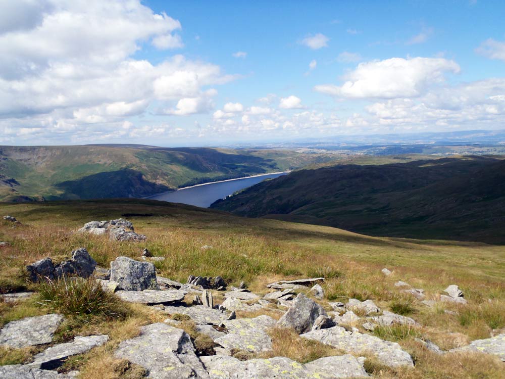 |
A glimpse of Haweswater
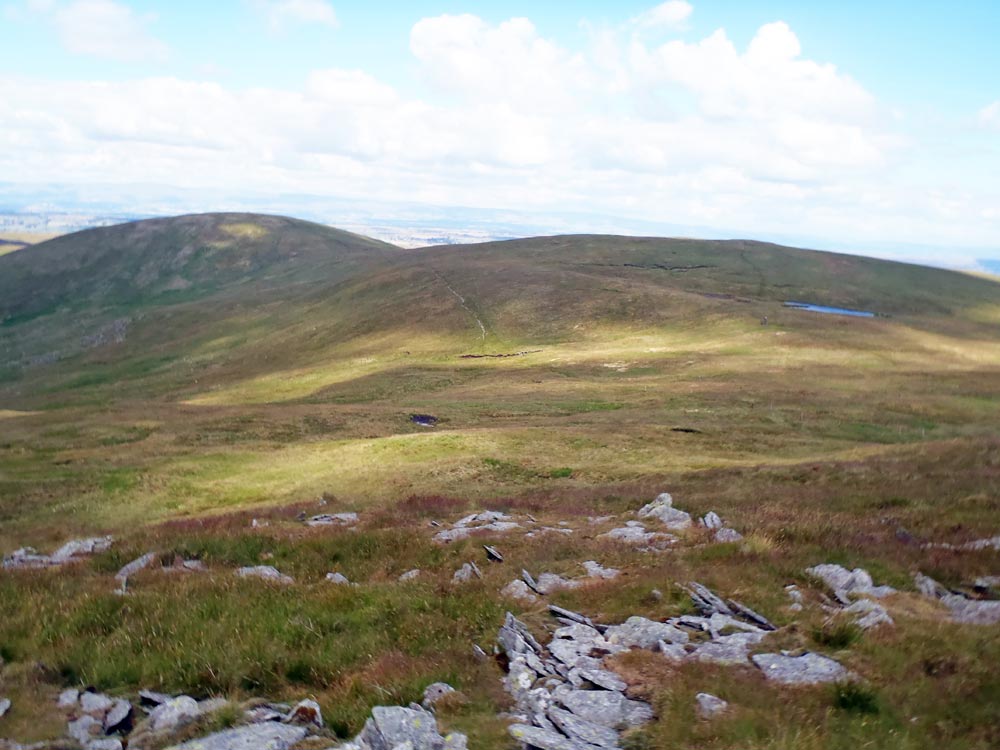 |
High Howse on the right and Selside Pike to the left
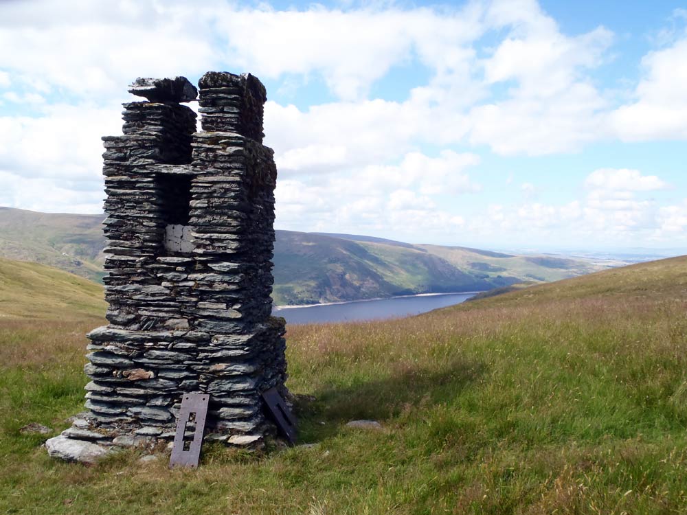 |
Survey post built by Manchester corporation during the construction of the reservoir
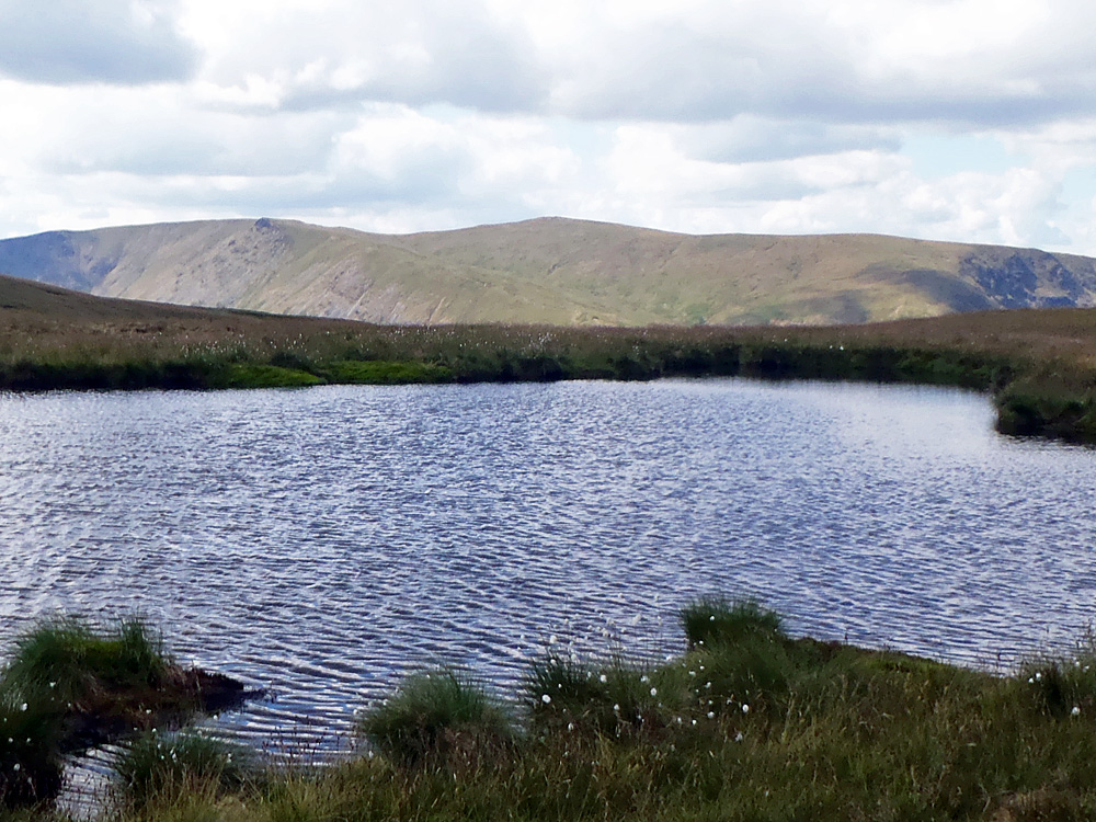 |
The small tarn below High Howse with High Raise on the skyline
 |
Close up on the Straights of Riggindale with Helvellyn and Catstycam in the distance
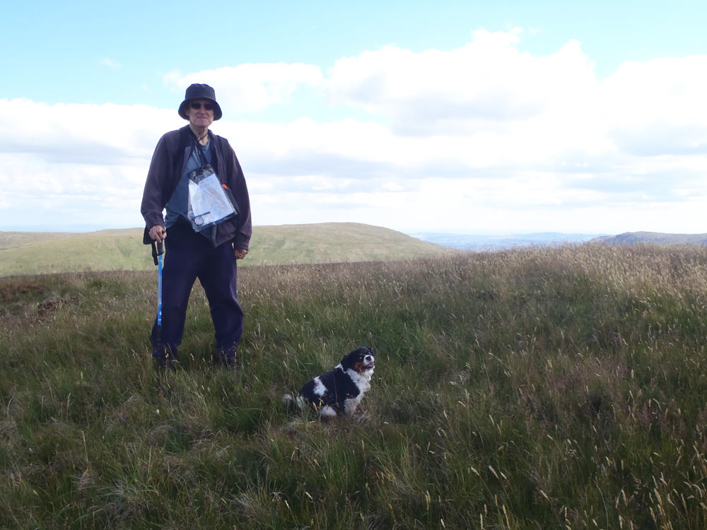 |
On High Howse
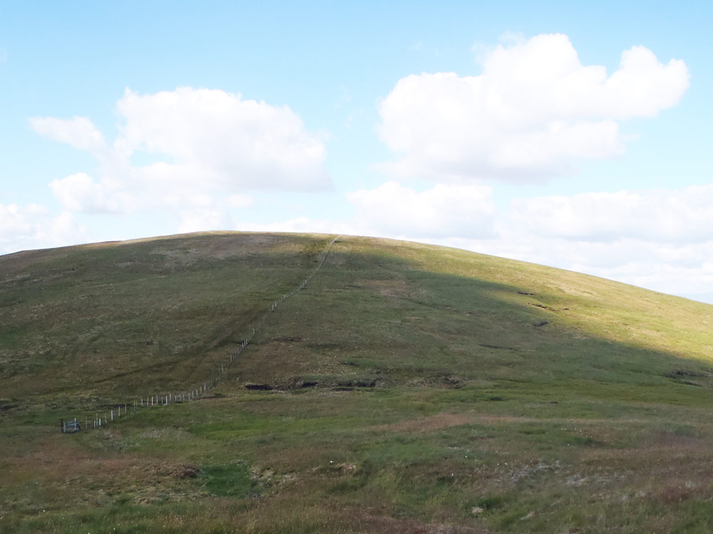 |
Towards Selside Pike
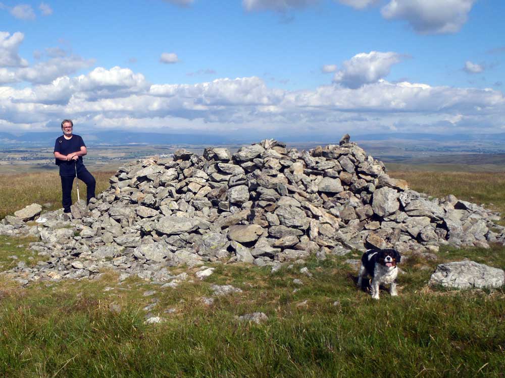 |
Selside Pike summit with its substantial cairn-cum-shelter
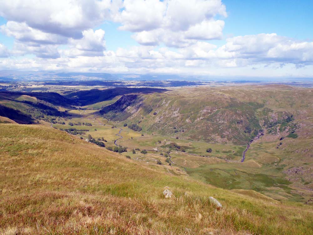 |
The view into Swindale
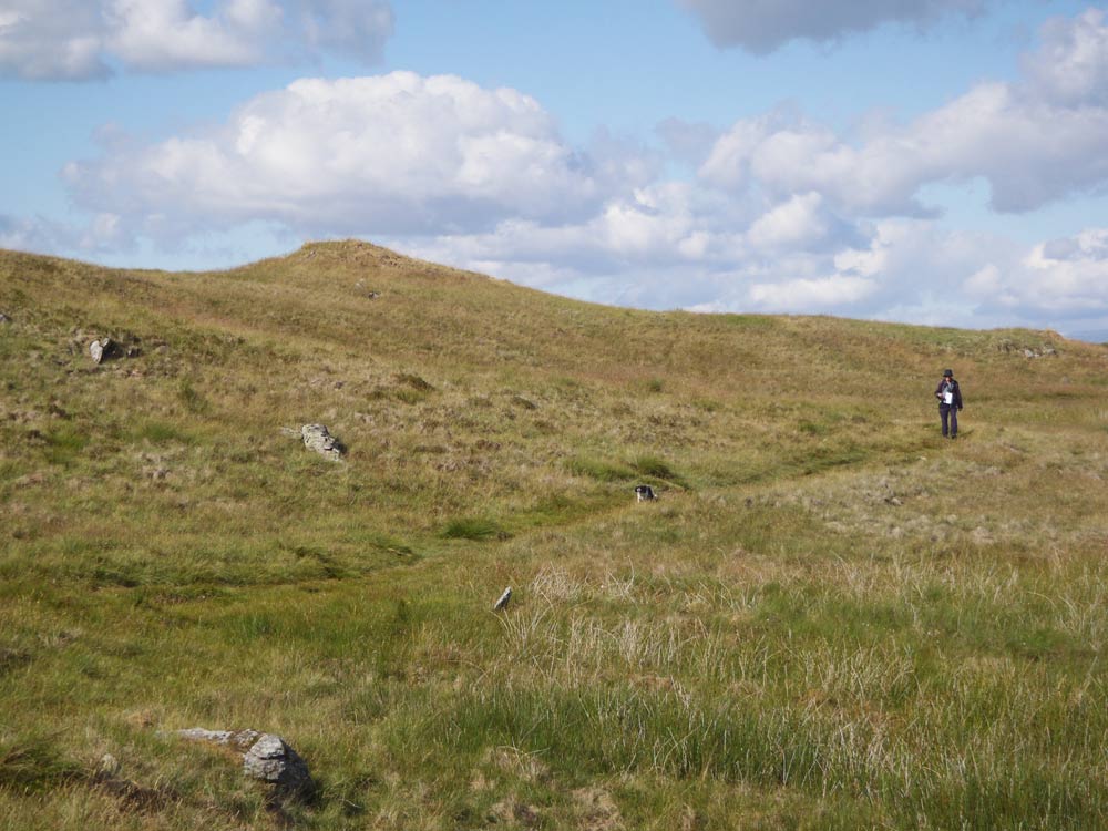 |
Along the corpse road
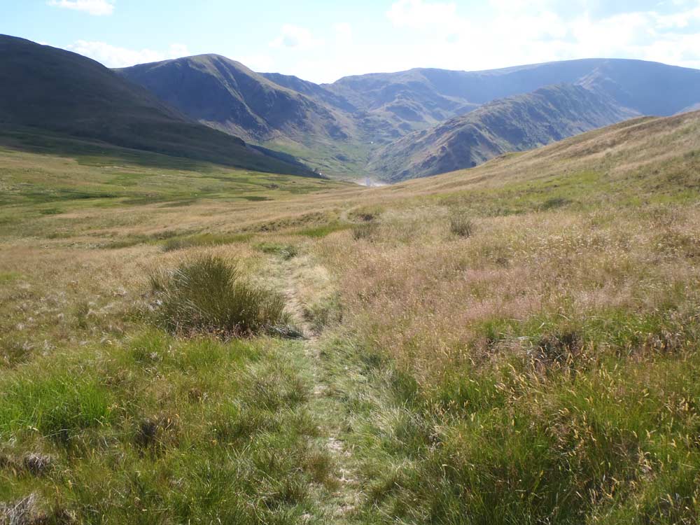 |
Harter Fell, Mardale Ill Bell, High Street and Rough Crag from the corpse road
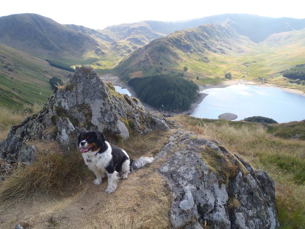 |
Poppy above Mardale Head
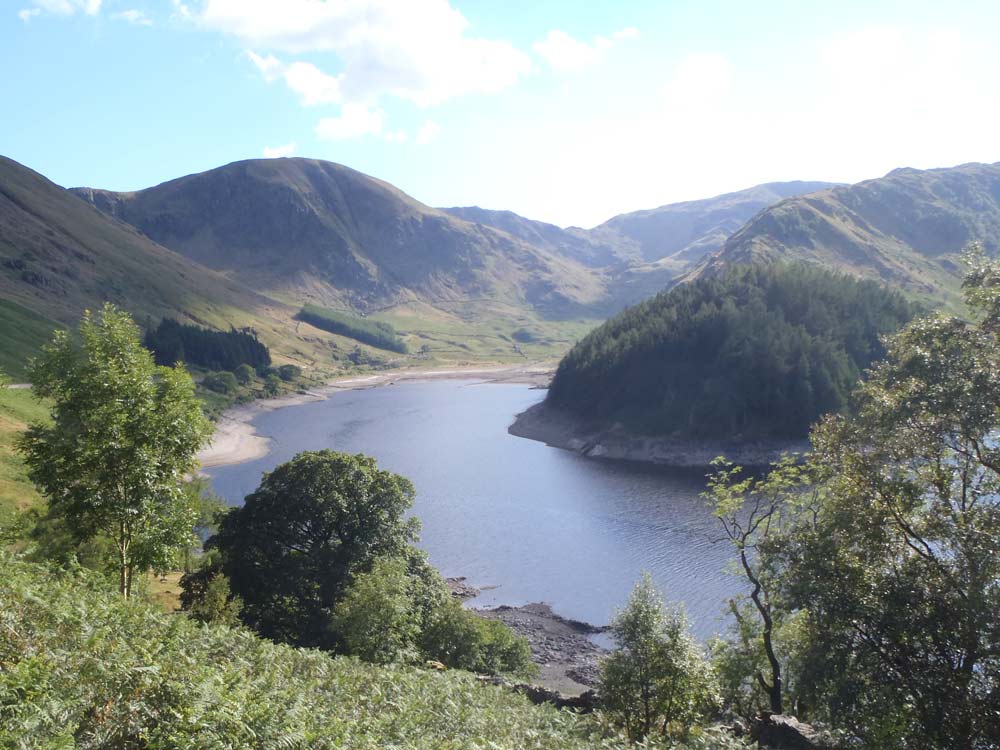 |
Towards Mardale Head